National wildfire risk cartography
Hazard, vulnerability and risk maps for continental Chile at 10 m resolution, adapting the EU’s wildfire risk method to Chilean data.
- CONAF
- Member of the GIS analysis team
- 2024
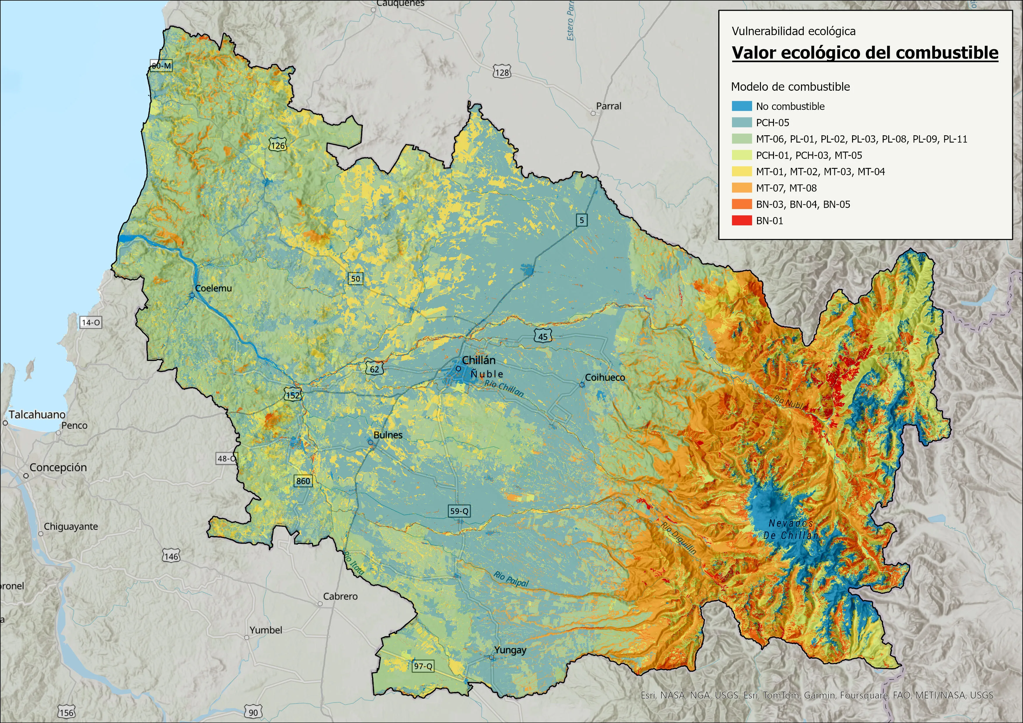
CONAF’s 2024 National Forest Fire Risk Analysis updates the 2021 study with one standardised method for the whole country, so regions can be compared and resources prioritised on the same basis. I was one of a five-person team, working across the full analytical chain.
Method
- Adapted the Joint Research Centre’s pan-European wildfire risk methodology to Chilean conditions and data.
- Worked with regional and central fire prevention teams to redefine the hazard and vulnerability variables.
- Weighted the variables through structured expert surveys and a Delphi-method matrix.
- Compiled and standardised official national coverages into 10 m rasters (WGS84 UTM 19S) for continental Chile.
- Built the hazard and vulnerability layers by multicriteria evaluation in ArcGIS Pro, then derived the national risk index and split it by region for statistics.
Result
A single national layer that CONAF uses to identify critical areas and plan prevention and control, with statistics for every region of the country.